

USWM012
|
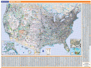
Perfect for home, business, or school, this Legacy USA Wall Map combines bright, attractive colors with high-detailed cartography in an antique style. Details on this United States Wall Map include: state boundaries and capitals along with other major cities and towns; major physical features such as mountain ranges and major mountain peaks; major water features such as oceans, seas, gulfs, and rivers; the Interstate highway system and other major roads; and all National Parks as well as other large National Park Service sites. Special features include ivory-colored oceans and a black decorative border. This map of the United States uses the Albers Equal Area projection. |
USWM016
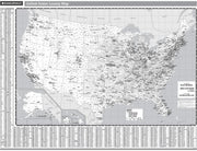
Rand McNally's United States County Wall Map shows county outlines and major cities, making it ideal for use as a business analysis tool.
The black and white map is laminated and comes with hanging rails for easy display options.
USWM007
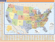
Rand McNally's United States County Wall Map shows county outlines and major cities, making it ideal for use as a business analysis tool.
The full-color map is laminated and comes with hanging rails for easy display options.
USWM006
Map indications include:
USWM017
USWM020
Wall map of the northeastern United States, showing states, counties, cities, larger populated places, interstates and major highways. Covers Maine, New Hampshire, Vermont, Massachusetts, Rhode Island, Connecticut, New York, Pennsylvania, New Jersey, Delaware, northern Maryland, northern Virginia, adjacent areas of West Virginia, and DC.
A city index is included.


