

USWM016
Rand McNally's United States County Wall Map shows county outlines and major cities, making it ideal for use as a business analysis tool.
The black and white map is laminated and comes with hanging rails for easy display options.
USWM010
Perfect for home, business, or school, this US Interstate Highways wall map shows the Interstate Highway System of the United States, along with other important Federal and state highways. Details included on this wall map consist of: international and state/provincial boundaries, freeways, tollways and other major roads; cities and towns; time zones; and all National Parks in the United States. Insets of Alaska and Hawaii are also included on this map. Also includes topography in colored relief and a white decorative border.
This map is printed on 36 lb premium coated paper or choose laminated at checkout.
USWM027
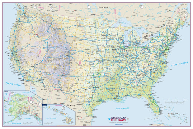
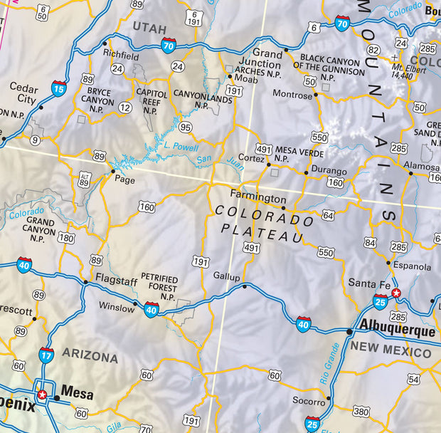
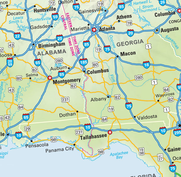
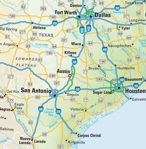
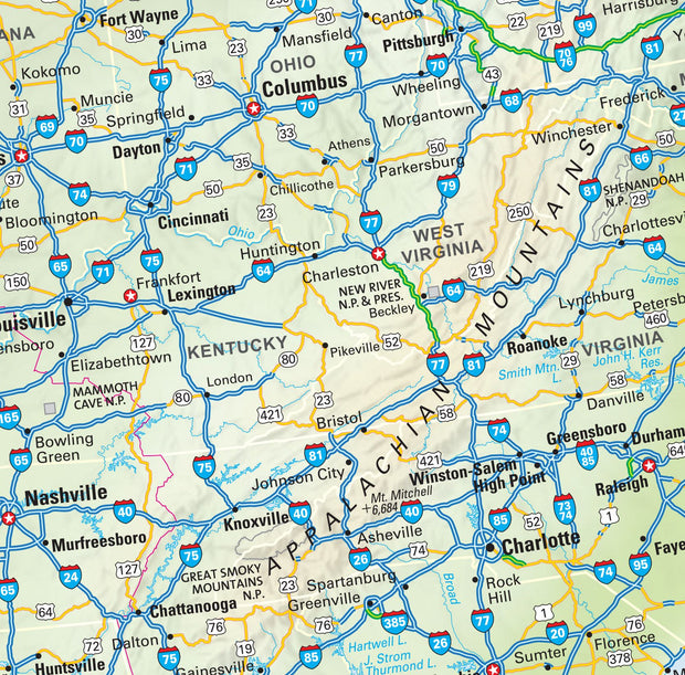
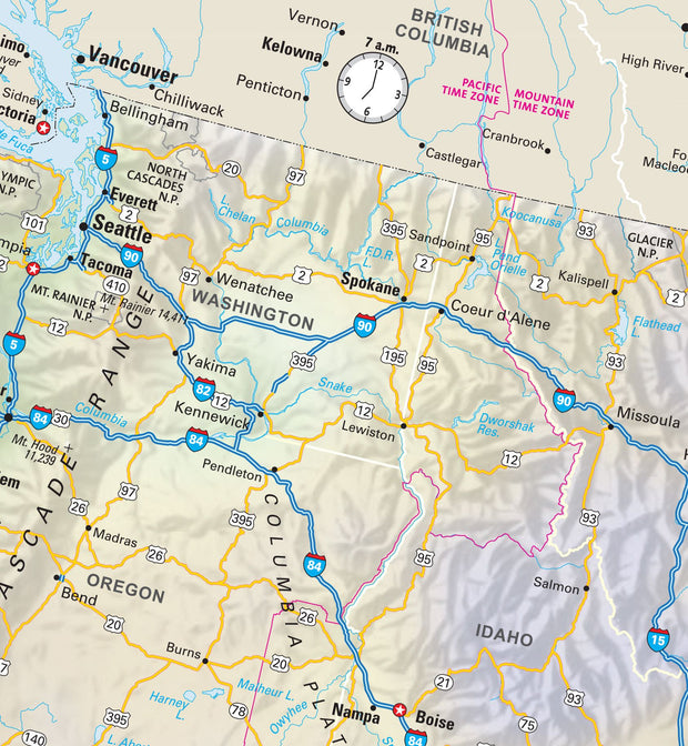
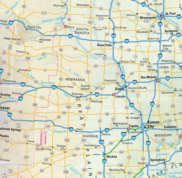
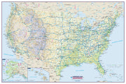
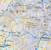
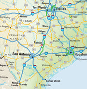
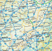
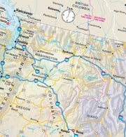
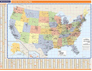
Created specifically for MapSherpa, this United States Political Map stretches from the Pacific to the Atlantic Oceans, and the Gulf of Mexico to international neighbor borders, this US Political Map displays all 50 states that make up the country. For readability, each state is easily identified by a different color, the map prominently shows; State capitals, primary cities & towns, major national parks, primary water features, mountain ranges and all time zones. With multiple sizes available, this is the perfect reference map for home, office, or school use.
USWM026
This map has been created and designed for reference or business use. Clear and clean colors & fonts matched with cartographic research makes this map of USA Map wth County Names easily readable and useful. The map shows the the over 3,000 counties, parishes and boroughs of the United States and their borders.
USWM007
Rand McNally's United States County Wall Map shows county outlines and major cities, making it ideal for use as a business analysis tool.
The full-color map is laminated and comes with hanging rails for easy display options.