

WAWM005
This map has been created and designed for business or reference use. Clear and clean colors & fonts matched with cartographic research make this Washington Zip Code Map with Counties easily readable and useful. The map shows the 39 counties of Washington and the borders of the over 500 zip codes across the Evergreen State.
This product is rolled and shipped in a sturdy cardboard tube.
WAWM006-1
Save money on our full line of wall maps from one of the industry leaders in wall maps. These always up to date, eye catching wall maps come in a variety of sizes and finishing options sure to meet your specific mapping needs.
Features include:
This map is rolled and shipped in a sturdy cardboard tube.
WAWM006CC-1
The Color Cast Style Washington State Map is a multi-colored display that shades each county with its own background color. It is an ideal choice for applications that benefit from quickly and easily distinguishing one county from the others.
This wall map comes laminated on both sides using 3mm hot lamination, which protects your wall map and allows you to write on it with dry-erase markers.
Includes inset maps of all major cities.
Features include:
This map is rolled and shipped in a sturdy cardboard tube.
WAWM002
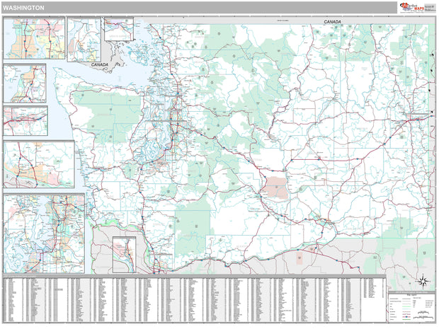
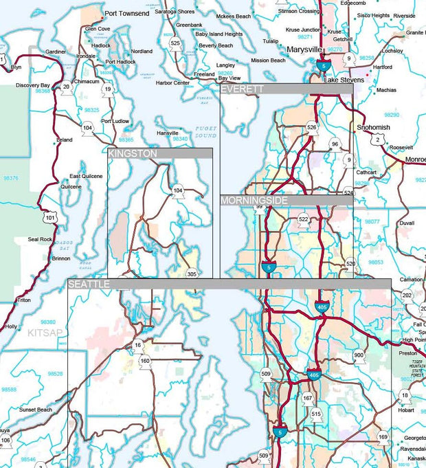
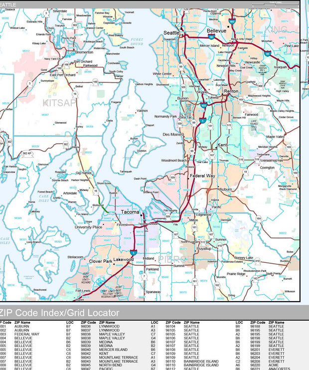
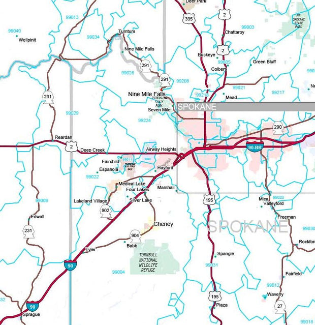
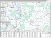
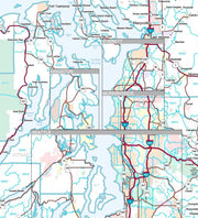
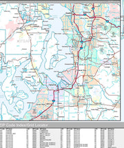
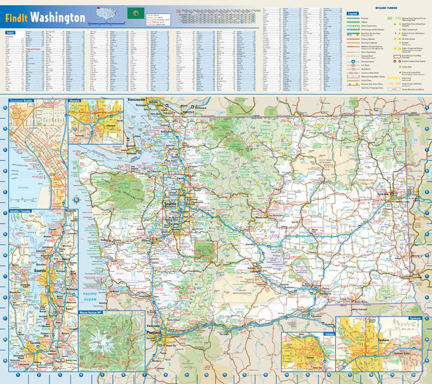
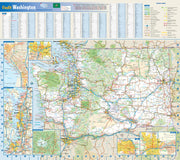
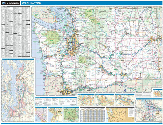
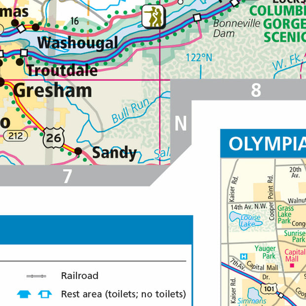
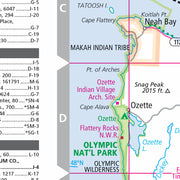
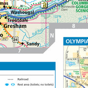
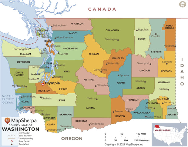
This colorful, easy-to-read state map of Washington identifies all major thoroughfares, secondary roads, freeway interchanges, rest areas, distance markers, landmarks, recreational areas, and more. Shaded relief on the state map provides a three-dimensional sense of Washington's topography. Detailed city inset maps of Olympia, Seattle, Spokane, and Yakima are based on the latest street information from our cartographic experts. Up-to-date insets of Mount Rainier National Park and downtown Seattle provide must-see information on these tourist areas. County and city indices make it simple to locate even the smallest town.
This product is rolled and shipped in a sturdy cardboard tube.
WAWM001
WAWM004
This map has been created and designed for reference or business use. Clear and clean colors & fonts matched with cartographic research makes this map of Washington Counties Map easily readable and useful. The map shows the 39 counties of Washington and their borders across the Evergreen State.
This product is rolled and shipped in a sturdy cardboard tube.