Virginia
Virginia
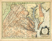
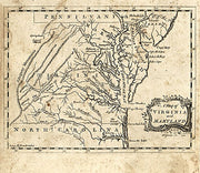
MD00012
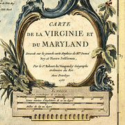
Carte de la Virginie et du Maryland. Dressée sur la grande carte angloise de Mrs. Josué Fry et Pierre Jefferson, par le Sr. Robert de Vaugondy, géographe ordinaire du roi. Avec privilege 1755. Gravé E. Haussard.
Robert de Vaugondy, Gilles, 1688-1766.
CREATED/PUBLISHED
Paris, 1757
This beautiful antique map reproduction is printed on heavy acid-free stock with fade proof inks and is excellent for framing
26"W x 16"H
MD00007
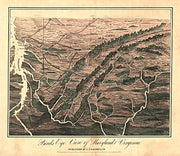
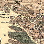
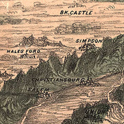
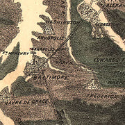
Birds eye view of Maryland and Virginia. S. N. Gaston and Company. CREATED/PUBLISHED
[S.l.], S. N. Gaston & Co., c1861. NOTES
Not drawn to scale. Reference: LC Civil War Maps (2nd ed.), 449.5 Panoramic map looking south from southern Pennsylvania showing relief, rivers, place names, and railroads. Description derived from published bibliography.
This beautiful antique map reproduction is printed on heavy acid-free stock with fade proof inks and is excellent for framing
Birds eye view of Maryland and Virginia.
S. N. Gaston and Company.
CREATED/PUBLISHED S. N. Gaston & Co., c1861.
This beautiful antique map reproduction is printed on heavy acid-free stock with fade proof inks and is excellent for framing
16"W x 18"H
MD00004
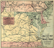
General map of eastern and central Virginia, Maryland, Delaware, southern Pennsylvania, and northern North Carolina showing cities and towns, state boundaries, and railroads.
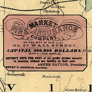
Includes an advertisement for the Market Fire Insurance Company, New York.
General map of eastern and central Virginia, Maryland, Delaware, southern Pennsylvania, and northern North Carolina showing cities and towns, state boundaries, and railroads.
Includes an advertisement for the Market Fire Insurance Company, New York.
This beautiful antique map reproduction is printed on heavy acid-free stock with fade proof inks and is excellent for framing.
15"W x 17"H
MD00003
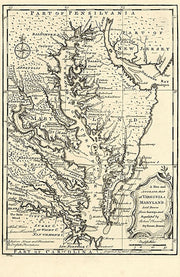
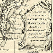
A new and accurate map of Virginia & Maryland laid down from surveys and regulated by astronl. observatns. by Eman. Bowen.
A new and accurate map of Virginia & Maryland laid down from surveys and regulated by astronomical observations by Eman. Bowen.
This beautiful antique map reproduction is printed on heavy acid-free stock with fade proof inks and is excellent for framing.
14"W x 22"H
MD00002
From Geographical and Historical Grammer of the World (Edinburgh: Salmon, Sands, Murray and Cochran; 1767).
From Geographical and Historical Grammer of the World (Edinburgh: Salmon, Sands, Murray and Cochran; 1767).
This beautiful antique map reproduction is printed on heavy acid-free stock with fade proof inks and is excellent for framing.
14"W x 16"H
All Maps Have a Free Shipping Option Through Year End!

