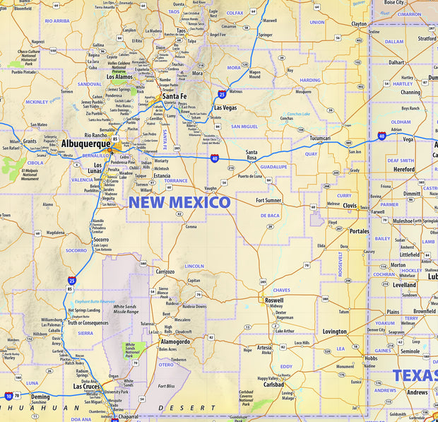
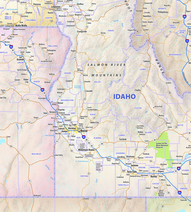
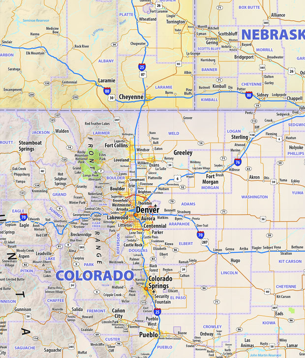
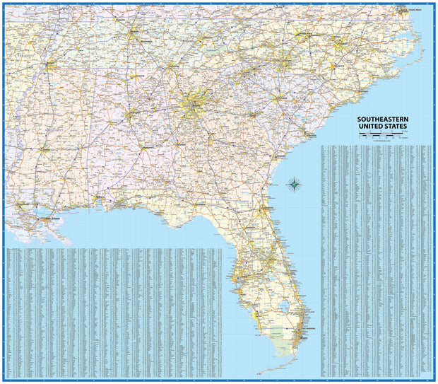
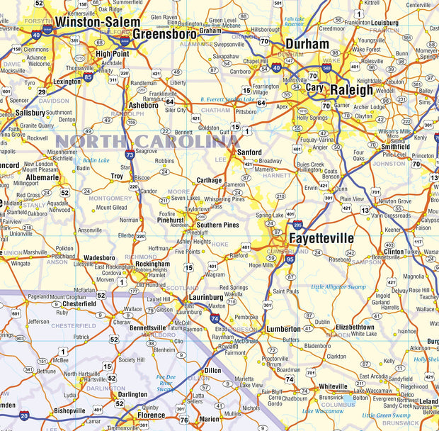
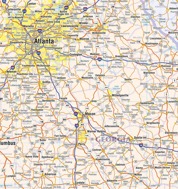
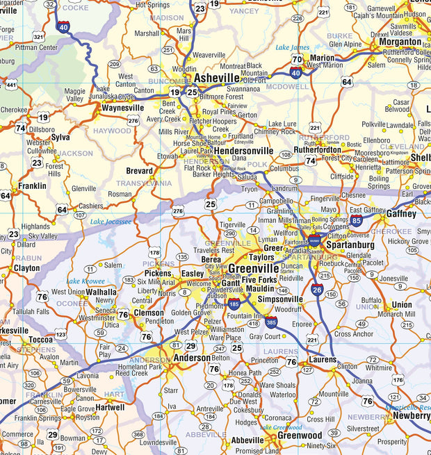
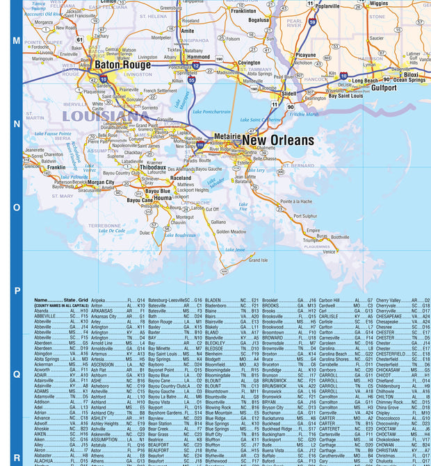
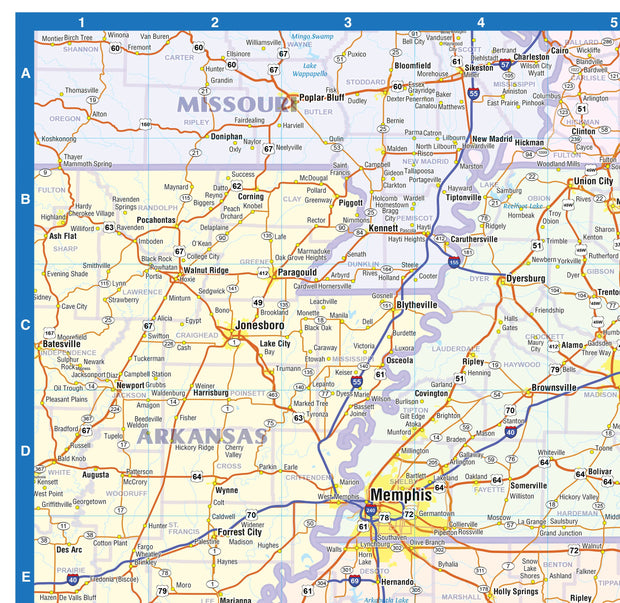
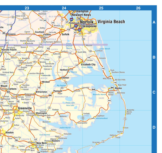
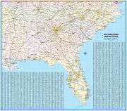
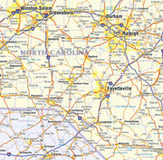
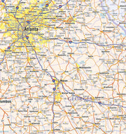
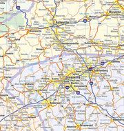
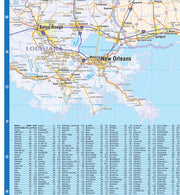
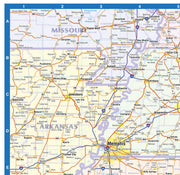
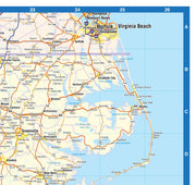
Our Eastern USA wall map shows the entire eastern part of the United States, from Chicago east to the Atlantic Ocean, and from Canada south to the Gulf of Mexico. This area includes Indiana, lower Michigan, Ohio, Pennsylvania, New York, Vermont, New Hampshire, Maine, Massachusetts, Connecticut, Rhode Island, New Jersey, eastern Kentucky, eastern Tennessee, Alabama, Georgia, Delaware, Maryland, Virginia, West Virginia, North Carolina, South Carolina, and Florida. The map shows states, cities, larger towns, as well as interstates and major highways.
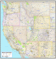
This map comes in a variety of sizes and finishing options. It is shipped rolled in a sturdy cardboard tube.