Texas
Texas
Texas



Texas
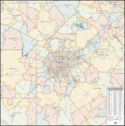
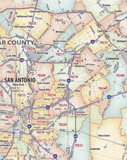
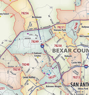
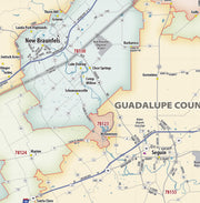
TXWM115-1
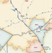
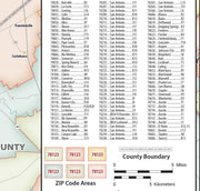
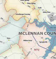
Our San Antonio Metro Area ZIP Code Map highlights zip code areas within 40 miles of downtown San Antonio. The perfect tool for visualizing the big picture of the San Antonio Metro Area, each zip code is colorized and labeled for quick identification. The map also shows counties, communities, and major roads. An index of zip codes is included for easy reference. It is rolled and shipped in a sturdy tube.
This map is rolled and shipped in a sturdy cardboard tube.
TXWM118-1
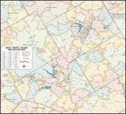
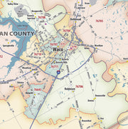
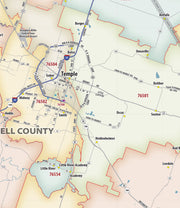
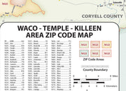
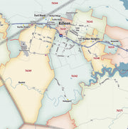
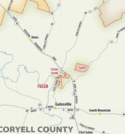
Our Waco - Temple - Killeen Area ZIP Code Map highlights zip code areas within a 75 by 70 mile section of central Texas. The perfect tool for visualizing the big picture of the Waco - Temple - Killeen Area, each zip code is colorized and labeled for quick identification. The map also shows counties, communities, and major roads. An index of zip codes is included for easy reference.
This map is rolled and shipped in a sturdy cardboard tube.
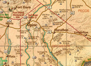
Remote, expansive, and diverse, Big Bend is a tapestry of West Texas landscapes, where the Chisos Mountains reach skyward over the Chihuahuan Desert and the Rio Grande cuts ever deeper into canyons as it rounds the great curve that gives the park its name. The 1,200 square miles of land protected within the park’s boundaries provide habitat for a vast array of flora and fauna, and the night skies are the darkest of any national park found in the Lower 48. This wall map details the terrain and recreation features inside Big Bend National Park and the surrounding network of back roads and drainage features.
TXWM017A-1
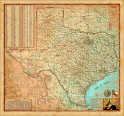
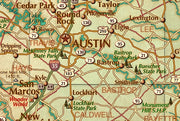
This decorative map of Texas is colorful and easy-to-read featuring topography in shaded relief. Beautiful as well as functional, this map will brighten any office or study.
Features include:
This map is rolled and shipped in a sturdy cardboard tube.
Save money on our full line of wall maps from one of the industry leaders in wall maps. These always up to date, eye catching wall maps come in a variety of sizes and finishing options sure to meet your specific mapping needs.
The Color Cast Style Texas State Map is a multi-colored display that shades each geographic area (county) with its own background color. It is an ideal choice for applications that benefit from quickly and easily distinguishing one County from the others.
Features include:
Insets of: Corpus Christi, San Antonio, Austin, Amarillo, Beaumont, Galveston, Fort Hood, Abilene, Lubbock, Houston, Waco, Bryan, Wichita Falls, Longview, Mc Allen, El Paso, Dallas/Ft Worth
All Maps Have a Free Shipping Option Through Year End!

