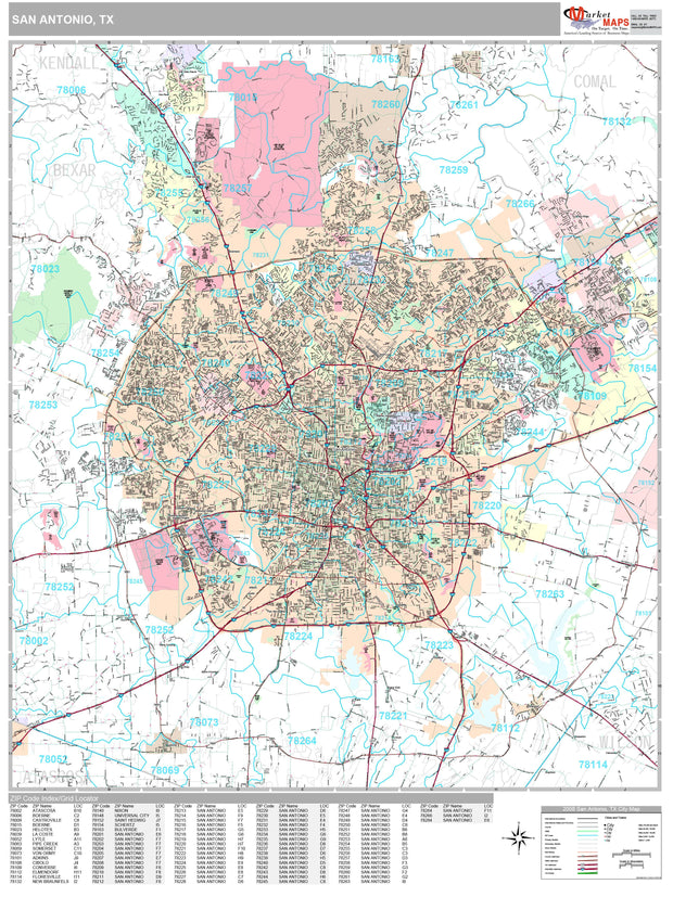
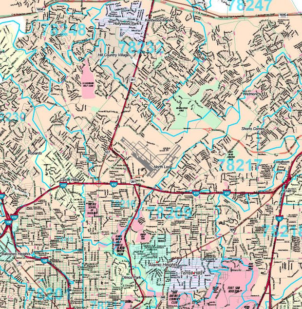
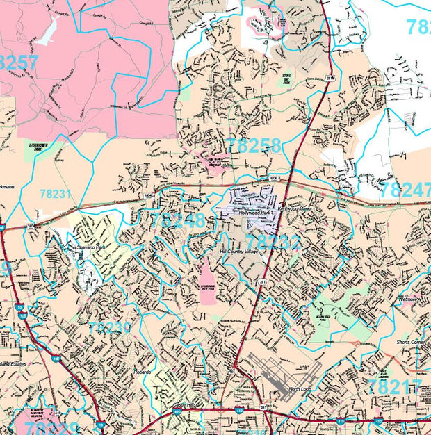
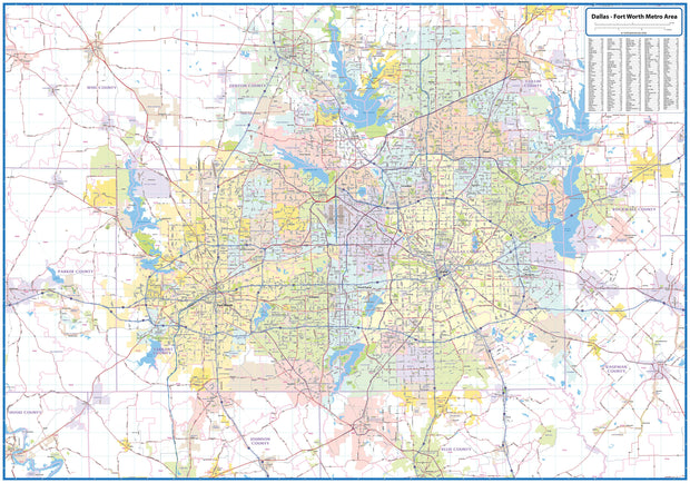
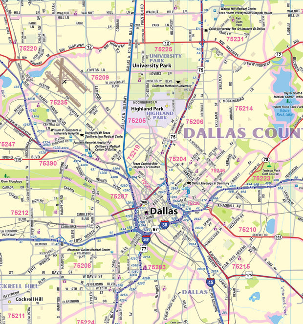
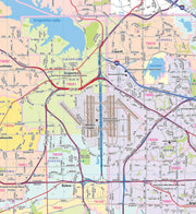
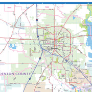
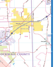
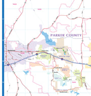
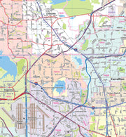
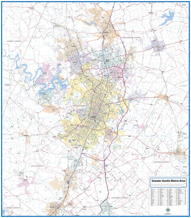
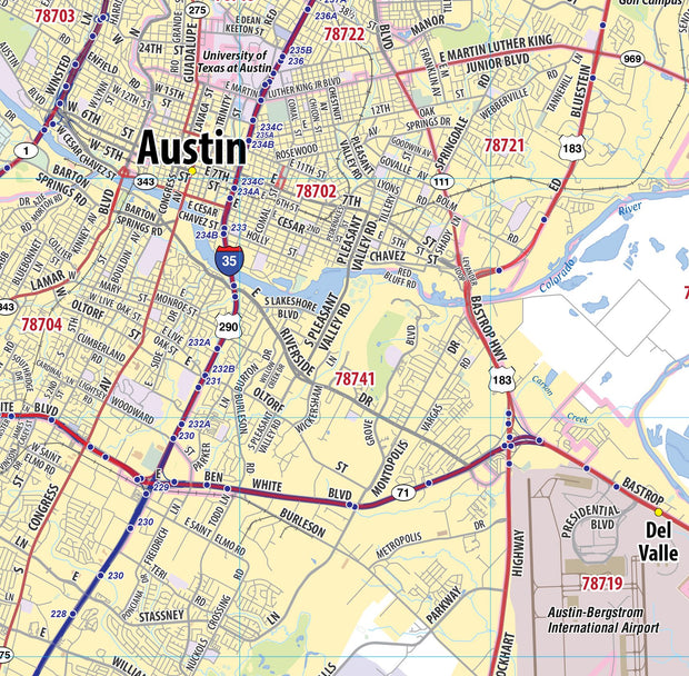
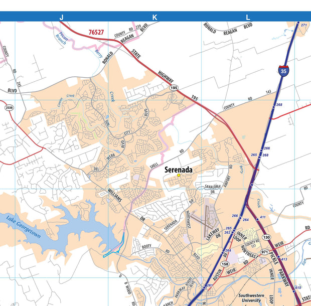
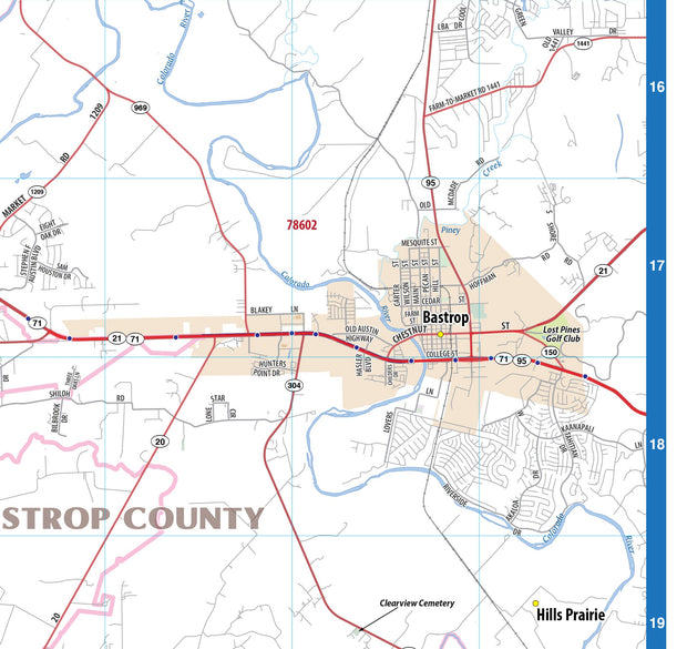
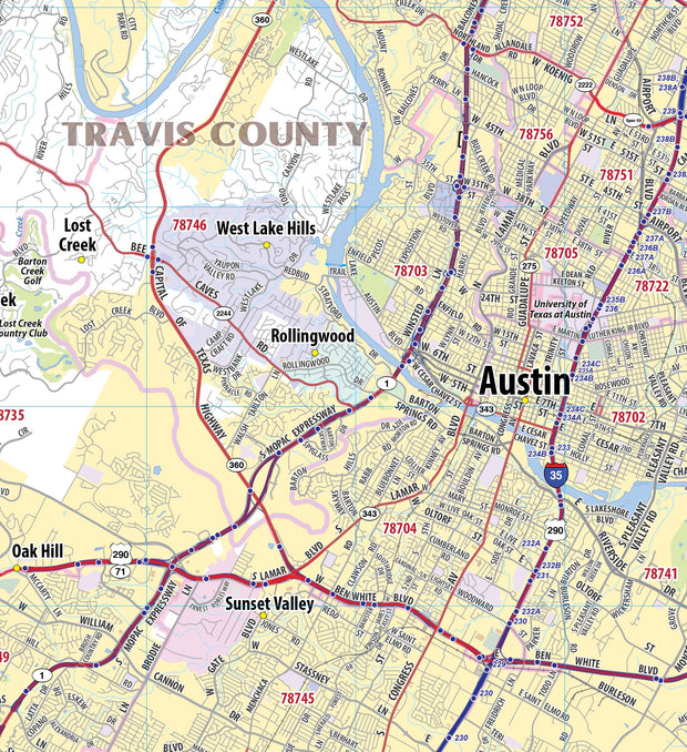
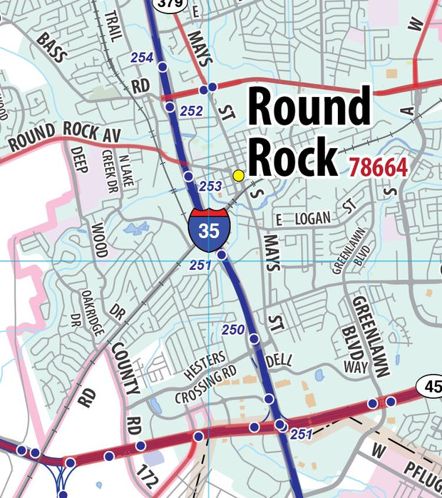
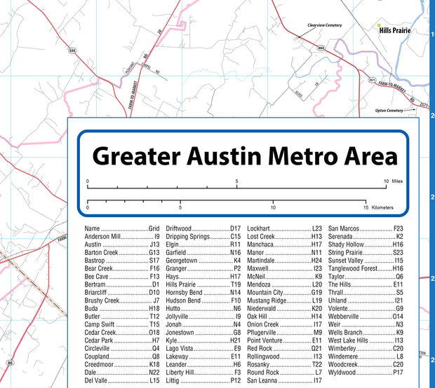
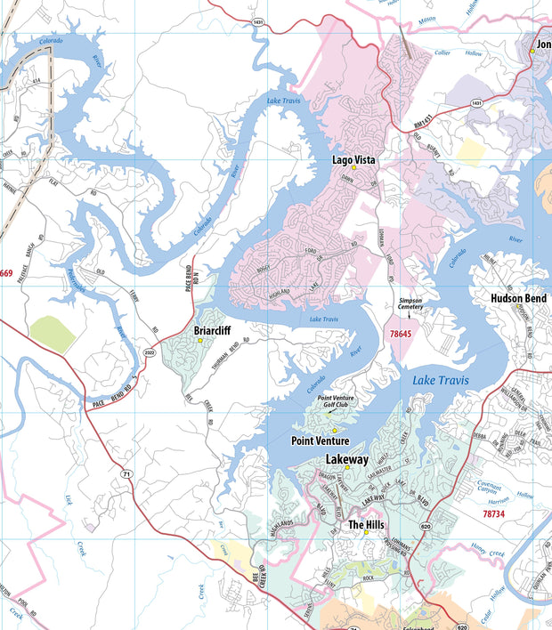
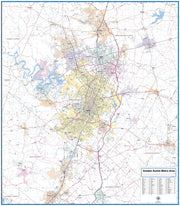
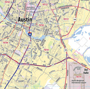
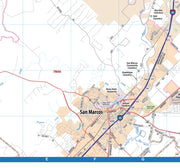
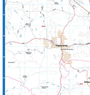
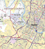
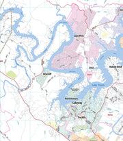
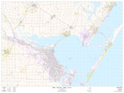
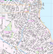
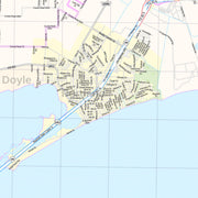
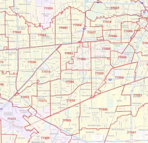
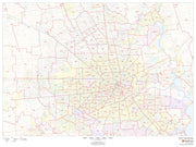
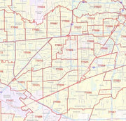
This wall map of the Austin metro area shows locations within 25 miles of downtown Austin, including Travis County, and parts of Hays, Williamson and Bastrop Counties. Communities included are Georgetown, Leander, Cedar Park, Round Rock, Pflugerville, Lago Vista, Lakeway, Bee Cave, Kyle, San Marcos and Lockhart, among others. Features shown include cities, towns, major roads and highways, zip codes, and major points of interest. An index of community names is included.
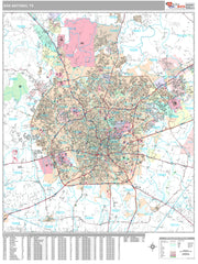
This map is rolled and shipped in a sturdy cardboard tube.