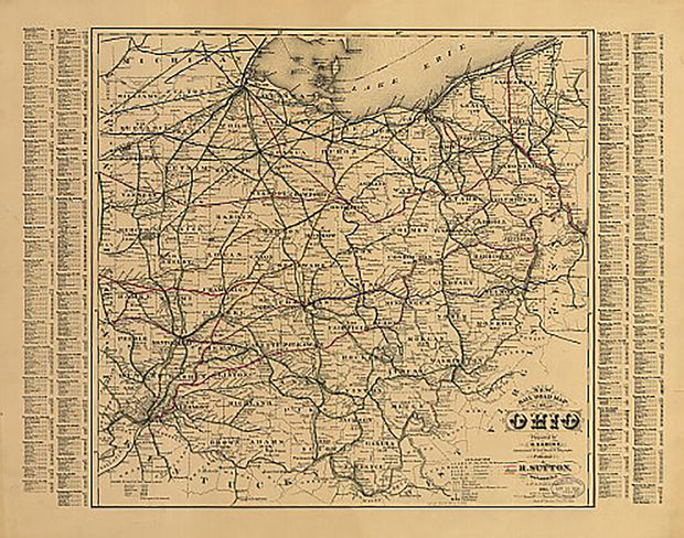
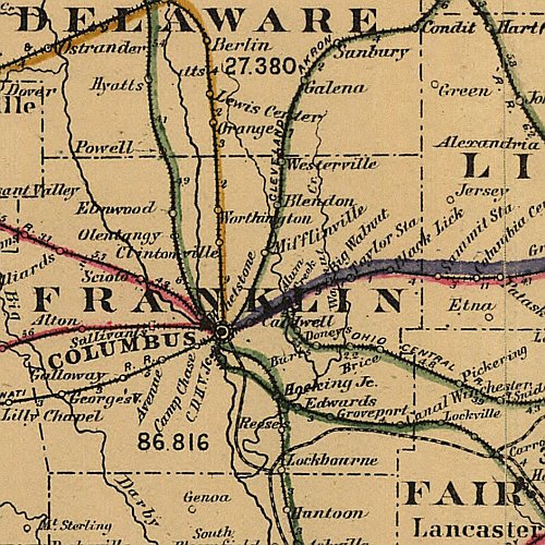
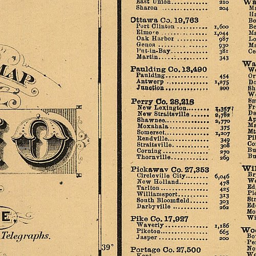
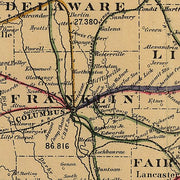
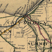
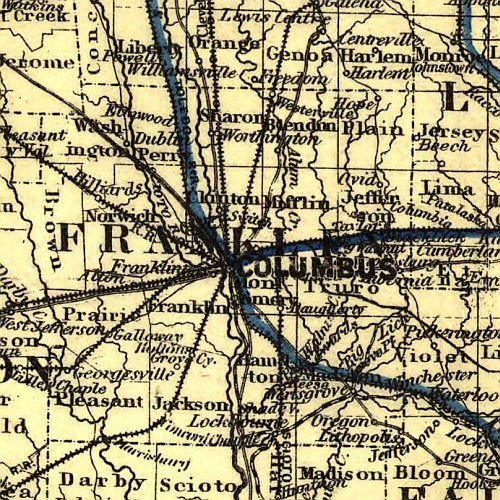
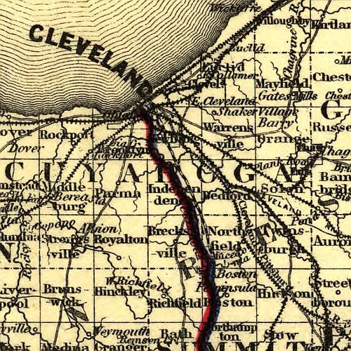
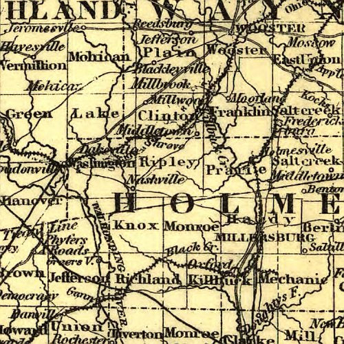
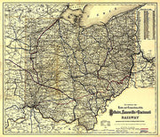
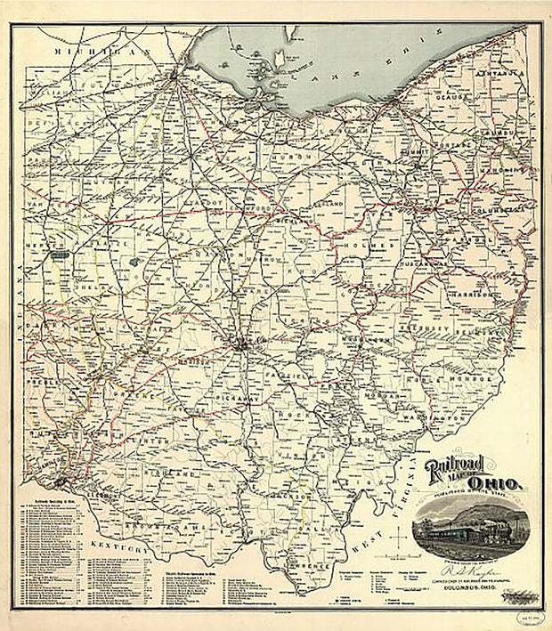
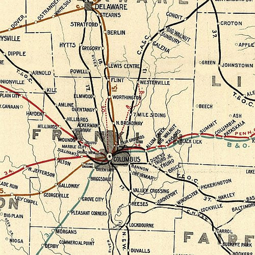
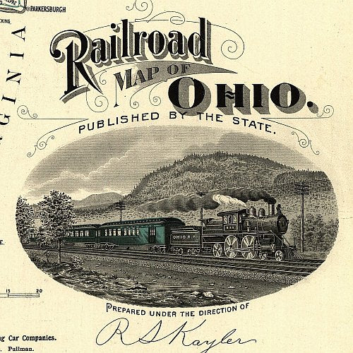
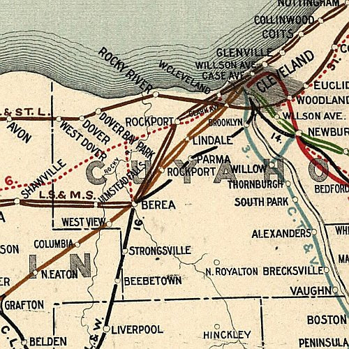
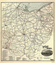
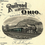
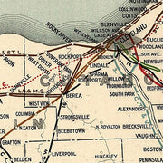
Wall map of the Greater Cleveland Metro area showing locations within 25 miles of downtown Cleveland, including Cuyahoga County, Medina County, Summit County and parts of Lake, Geauga, Portage, Lorain, Stark and Wayne Counties.
Communities included are Cleveland, Akron, Canton, Masillon, Wooster, Medina, Elyria, among others. Features shown include cities, towns, major roads and highways, zip codes, and major points of interest. An index of community names is included.
This map comes rolled and ships in a sturdy cardboard tube.