Ohio
Ohio
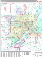
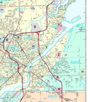
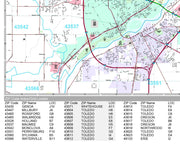
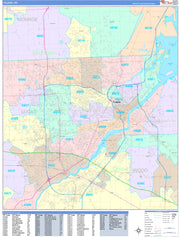
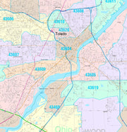
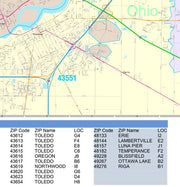
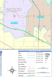


OHWM107-1
Save money on our full line of wall maps from one of the industry leaders in wall maps. These always up to date, eye catching wall maps come in a variety of sizes and finishing options sure to meet your specific mapping needs.
Features include:
Note: Major streets & highways available in all sizes. All streets & highways only available in larger sizes and will show unavailable in smaller sizes.
This map is rolled and shipped in a sturdy cardboard tube.
OHWM107CC-1
Save money on our full line of wall maps from one of the industry leaders in wall maps. These always up to date, eye catching wall maps come in a variety of sizes and finishing options sure to meet your specific mapping needs.
Features include:
Note: Major streets & highways available in all sizes. All streets & highways only available in larger sizes and will show unavailable in smaller sizes.
This map is rolled and shipped in a sturdy cardboard tube.
OHWM109
Wall map of the Greater Cleveland Metro area showing locations within 25 miles of downtown Cleveland, including Cuyahoga County, Medina County, Summit County and parts of Lake, Geauga, Portage, Lorain, Stark and Wayne Counties.
Communities included are Cleveland, Akron, Canton, Masillon, Wooster, Medina, Elyria, among others. Features shown include cities, towns, major roads and highways, zip codes, and major points of interest. An index of community names is included.
This map comes rolled and ships in a sturdy cardboard tube.

