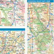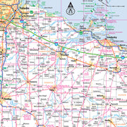


OHWM103-1
Save money on our full line of wall maps from one of the industry leaders in wall maps. These always up to date, eye catching wall maps come in a variety of sizes and finishing options sure to meet your specific mapping needs.
Features include:
Note: Major streets & highways available in all sizes. All streets & highways only available in larger sizes and will show unavailable in smaller sizes.
This map is rolled and shipped in a sturdy cardboard tube.
OHWM102
This map is rolled and shipped in a sturdy cardboard tube.
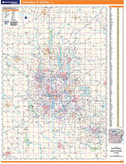
Coverage area extends approximately 77 miles north-to-south and 53 miles east-to-west and is roughly bounded by New Bloomington, OH; east to Fredericktown, OH; south to Lancaster, OH; and west to Washington Court House, OH.
OHWM101
This map is rolled and shipped in a sturdy cardboard tube.
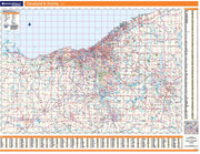
Coverage area extends approximately 94 miles north-to-south and 138 miles east-to-west and is roughly bounded by Sandusky, OH, east to Ashtabula, OH, south to East Palestine, OH, west to Galion, OH.
OHWM100
This map is rolled and shipped in a sturdy cardboard tube.
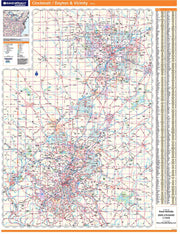
Coverage area extends approximately 73 miles north-to-south and 52 miles east-to-west and is roughly bounded by Eldorado, OH; east to Enon, OH; south to Hamersville, OH; and west to Aurora, IN.
OHWM001
This map is rolled and shipped in a sturdy cardboard tube.
OHWM006CC-1
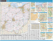
The Color Cast Style Ohio State Map is a multi-colored display that shades each county with its own background color. It is an ideal choice for applications that benefit from quickly and easily distinguishing one county from the others.
This wall map comes laminated on both sides using 3mm hot lamination, which protects your wall map and allows you to write on it with dry-erase markers.
Includes inset maps of all major cities.
Features include:
This map is rolled and shipped in a sturdy cardboard tube.


