
The rugged mountains that straddle the Tennessee – North Carolina border are home to a staggering array of biodiversity and a wealth of historic structures. The Smokies include some of the loftiest peaks in the eastern US and comprise the highest elevations found along the Appalachian Trail. More than 800 miles of trail wind through the Smokies’ forests, ridges, and coves, offering mountain solitude in the country’s most-visited national park. This wall map details the terrain and recreation features inside Great Smoky Mountains National Park and highlights its surrounding communities.
NCWM001
This map is rolled and shipped in a sturdy cardboard tube.
NCWM002
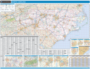
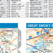
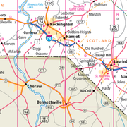
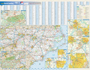
This colorful, easy-to-read state map of North Carolina identifies all major thoroughfares, secondary roads, freeway interchanges, rest areas, distance markers, landmarks, recreational areas, and more. Shaded relief on the state map provides a three-dimensional sense of North Carolina's topography. Detailed city inset maps of Asheville, Charlotte, Fayetteville, Greensboro/Winston-Salem, Raleigh/Durham, and Wilmington are based on the latest street information from our cartographic experts. An inset of Great Smoky Mountains National Park provides must-see information on this recreational area. County and city indices make it simple to locate even the smallest town.
This map is rolled and shipped in a sturdy cardboard tube.
NCWM003
This map of North Carolina shows ZIP codes overlaid on a road map. Base map features include county boundaries, major road network features, and state and national parks and conservation areas.
This map is rolled and shipped in a sturdy cardboard tube.
NCWM004
This map has been created and designed for reference or business use. Clear and clean colors & fonts matched with cartographic research makes this map of North Carolina Counties Map easily readable and useful. The map shows the 100 counties of North Carolina and their borders across the Tar Heel State.
This map is rolled and shipped in a sturdy cardboard tube.
NCWM005
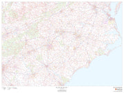
This map has been created and designed for business or reference use. Clear and clean colors & fonts matched with cartographic research makes this North Carolina Zip Code Map with Counties easily readable and useful. The map shows the 100 counties of North Carolina and the borders of the 802 zip codes across the Tar Heel State.
This map is rolled and shipped in a sturdy cardboard tube.


