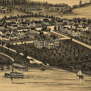


NH00014
Map of Maine, New Hampshire, Vermont, Massachusetts, Rhode Island, and Connecticut exhibiting the post offices, post roads, canals, rail roads, etc. by David H. Burr, 1839.
This beautiful antique map reproduction is printed on heavy acid-free stock with fade proof inks and is excellent for framing.
25"W x 34"H
NHWM001
This map is rolled and shipped in a sturdy cardboard tube.
NHWM004-1
Save money on our full line of wall maps from one of the industry leaders in wall maps. These always up to date, eye catching wall maps come in a variety of sizes and finishing options sure to meet your specific mapping needs.
Features include:
This map is rolled and shipped in a sturdy cardboard tube.
NHWM002
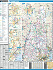
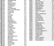
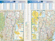
These colorful, easy-to-read state maps of New Hampshire and Vermont identify all major thoroughfares, secondary roads, freeway interchanges, rest areas, distance markers, landmarks, recreational areas, and more. Shaded relief on the state maps provides a three-dimensional sense of the topography. Detailed city inset maps of Concord, Manchester, Nashua, Portsmouth, Rochester, Burlington, and Montpelier are based on the latest street information from our cartographic experts. County and city indices for both states make it simple to locate even the smallest town.
This map is rolled and shipped in a sturdy cardboard tube.
NHWM003
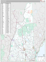
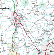
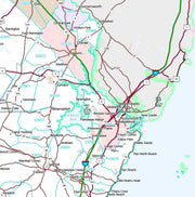
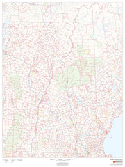
This map of New Hampshire shows ZIP code areas overlaid on a road map. Ideal for planning of deliveries, home services, sales territories, real estate and much more. Base map features include all roads with major roads and highways labelled, municipality and county boundaries, neighborhood names, railways, and high level land use such as parks and recreation areas
This map is rolled and shipped in a sturdy cardboard tube.
NH00025
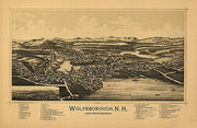
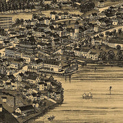
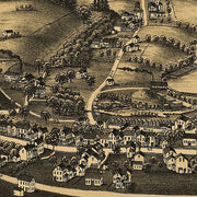
Wolfeborough, New Hampshire, Lake Winnipesaukee by Geo. E. Norris, 1889.
This beautiful antique map reproduction is printed on heavy acid-free stock with fade proof inks and is excellent for framing.
28"W x 18"H
All Maps Have a Free Shipping Option Through Year End!


