Nebraska’s vast prairies and farm towns are surprisingly active with outdoor recreation and frequent festivals. The Platte River traverses the state from west to east, converging with the Missouri River near Omaha, making The Corn Husker State an annual hotspot for migratory birds along the Central Flyway including endangered whooping cranes.
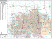
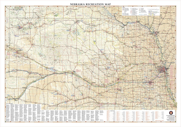
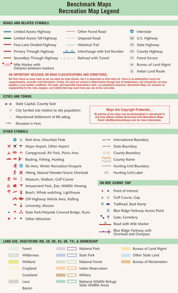
If outdoor adventure and recreation is your thing, this is the map for you. This map is loaded with points of interest from camping sites, hiking trails, fishing spots, and bird watching locations ( see legend shown on 2nd picture) this map depicts all the best recreation locations. Not only functional this exquisite map uses shaded relief to portray the land a technique which combines shading with elevation tints that portray landforms much more clearly than contour lines. These techniques and elevation colors make mountains, highlands and valleys immediately obvious.
Beautiful as well as functional this map will look great in a home, office, cabin, RV or wherever you choose to hang it.
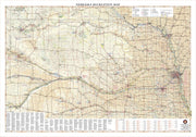
This map is rolled and shipped in a sturdy cardboard tube.