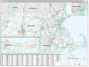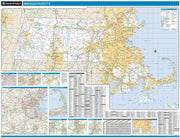


Boston North Shore Area Wall Map
MAWM103
Regular price
$89.95
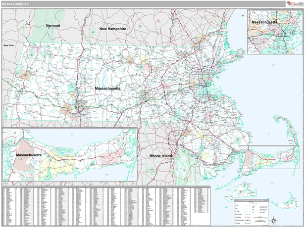
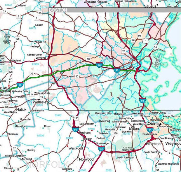
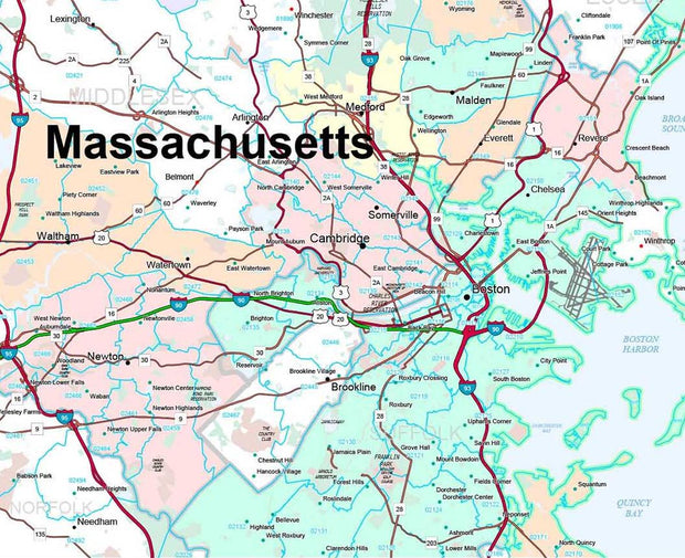
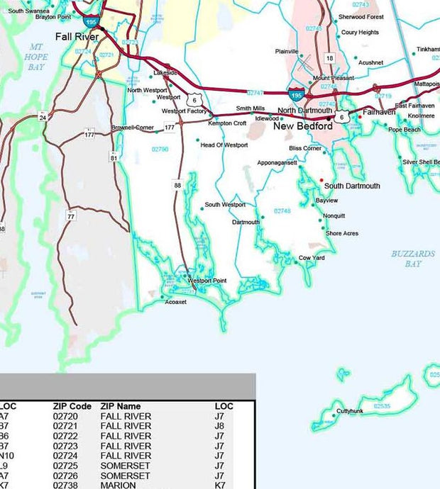
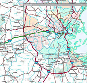
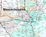
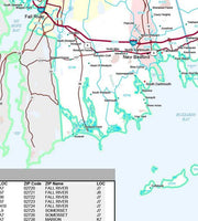
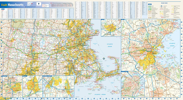
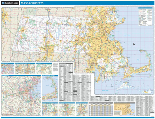
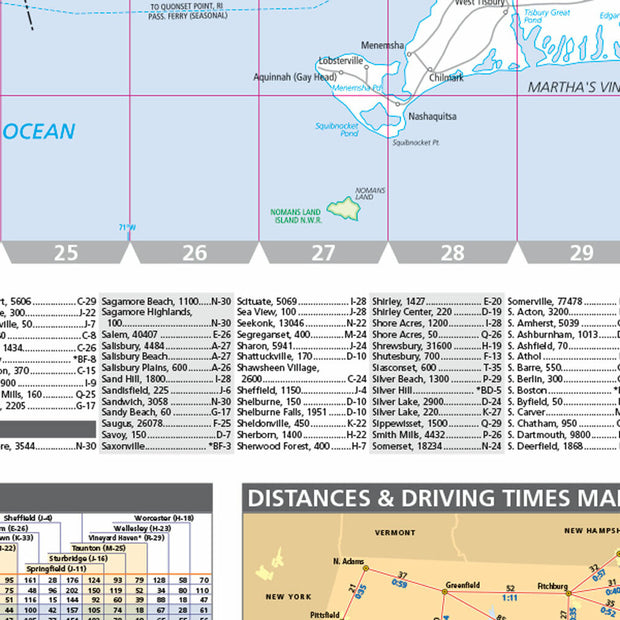
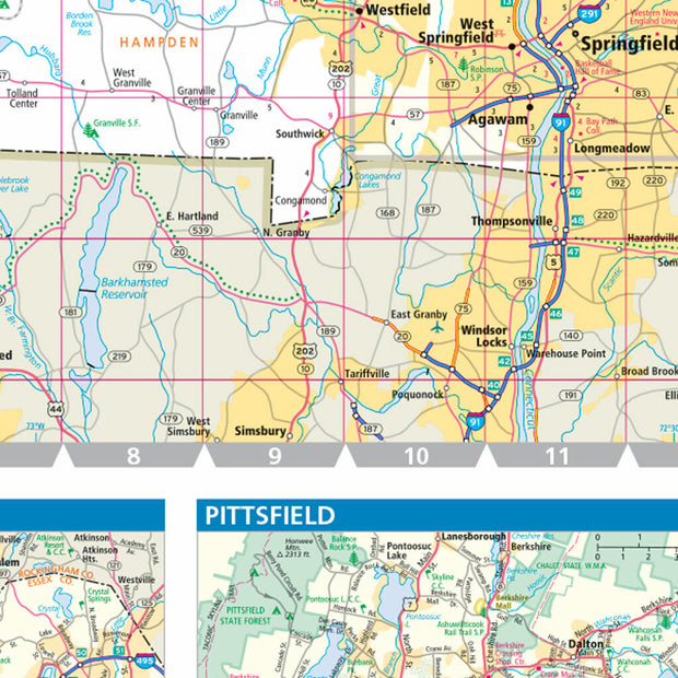
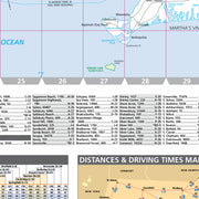
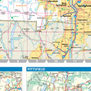
Our Boston North Shore wall maps shows the area from downtown Boston north to the New Hampshire state line, and from the coast west to include towns east of I-495. The map shows towns, counties, major highways and routes, as well as major points of interest. Note: due to the vast extent of this map, local street names are not shown.
This map comes in a variety of sizes and finishing options. It is shipped rolled in a sturdy cardboard tube.


