
KSWM005
This map has been created and designed for business or reference use. Clear and clean colors & fonts matched with cartographic research makes this Kansas Zip Code Map with Counties easily readable and useful. The map shows the 105 counties of Kansas and the borders of the 697 zip codes across the Sunflower State.
This map is rolled and shipped in a sturdy cardboard tube.
KSWM006-1
Save money on our full line of wall maps from one of the industry leaders in wall maps. These always up to date, eye catching wall maps come in a variety of sizes and finishing options sure to meet your specific mapping needs.
Features include:
This map is rolled and shipped in a sturdy cardboard tube.


KSWM006CC-1
The Color Cast Style Kansas State Map is a multi-colored display that shades each county with its own background color. It is an ideal choice for applications that benefit from quickly and easily distinguishing one county from the others.
This wall map comes laminated on both sides using 3mm hot lamination, which protects your wall map and allows you to write on it with dry-erase markers.
Includes inset maps of all major cities.
Features include:
This map is rolled and shipped in a sturdy cardboard tube.

KAWM001
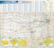
KSWM002
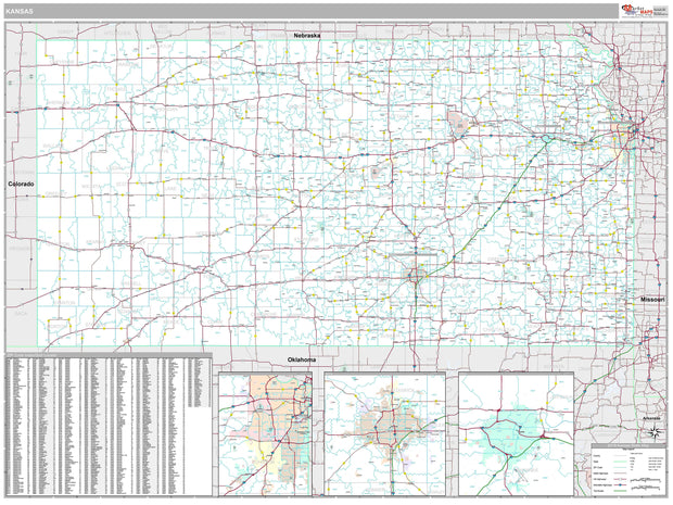
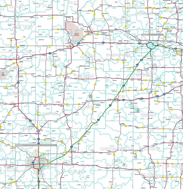
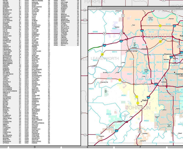
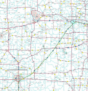
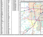
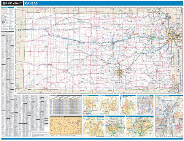
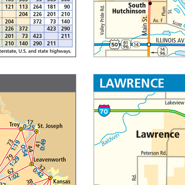
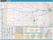
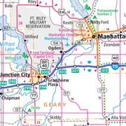
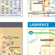
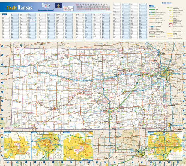
This colorful, easy-to-read state map of Kansas identifies all major thoroughfares, secondary roads, freeway interchanges, rest areas, distance markers, landmarks, recreational areas, and more. Shaded relief on the state map provides a three-dimensional sense of Kansas' topography. Detailed inset maps of Lawrence, Manhattan, Topeka, and Wichita are based on the latest street information from our cartographic experts. County and city indices make it simple to locate even the smallest town.
This map is rolled and shipped in a sturdy cardboard tube.


KSWM007
Wall map of Kansas, showing counties, towns, cities, villages, major roads and highways. A community index is included.
This map is rolled and shipped in a sturdy cardboard tube.