

ILWM101
This detailed reference map combines two maps in one - a regional map of the Chicagoland area plus a street-level map of downtown Chicago. The regional map shows the area's cities and towns, highways and roads, and a variety of points of interest. Joliet, Aurora, Elgin, and Highland Park are among the suburbs near Chicago that are featured on this map. The highly detailed inset of the Chicago central business district shows highways, streets, parks, landmarks, and other points of interest. The Loop, Printer's Row, Chinatown, and the Near North are among the neighborhoods shown on this map.
This map is rolled and shipped in a sturdy cardboard tube.
ILWM006-1
Save money on our full line of wall maps from one of the industry leaders in wall maps. These always up to date, eye catching wall maps come in a variety of sizes and finishing options sure to meet your specific mapping needs.
Features include:
This map is rolled and shipped in a sturdy cardboard tube.
ILWM006CC-1
The Color Cast Style Illinois State Map is a multi-colored display that shades each county with its own background color. It is an ideal choice for applications that benefit from quickly and easily distinguishing one county from the others.
This wall map comes laminated on both sides using 3mm hot lamination, which protects your wall map and allows you to write on it with dry-erase markers.
Includes inset maps of all major cities.
Features include:
This map is rolled and shipped in a sturdy cardboard tube.
ILWM001
This map is rolled and shipped in a sturdy cardboard tube.
ILWM007
Laminated wall map of Illinois, showing counties, towns, cities, villages, hamlets, major roads and highways. Includes community index. Map comes rolled in a sturdy tube.
This map is rolled and shipped in a sturdy cardboard tube.
ILWM002
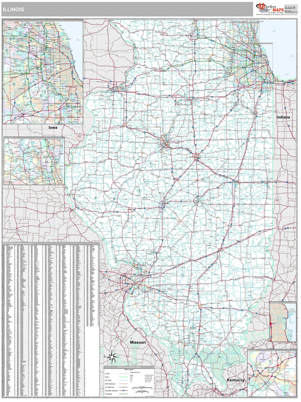
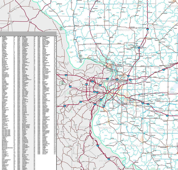
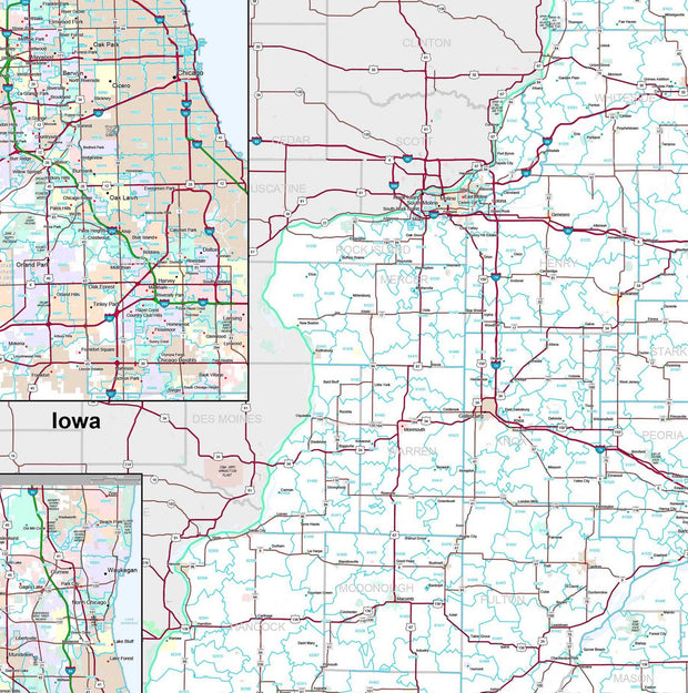
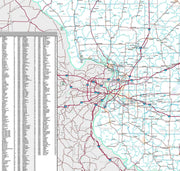
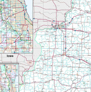
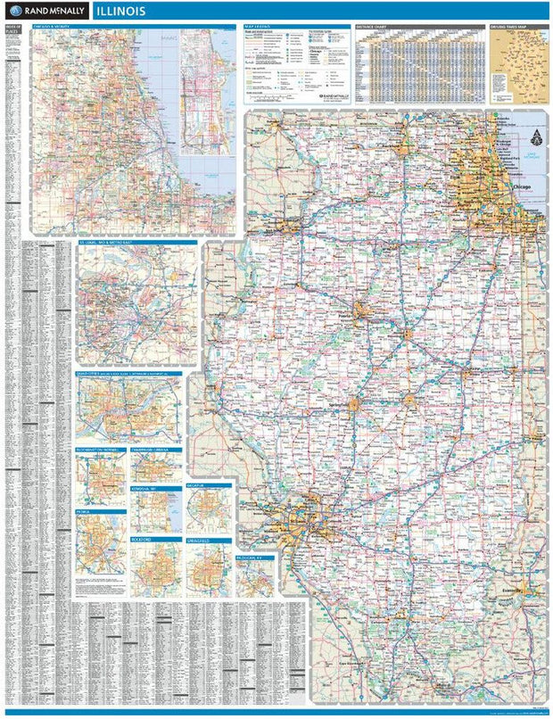
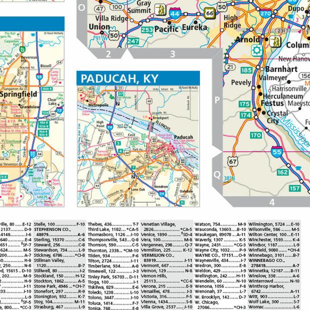
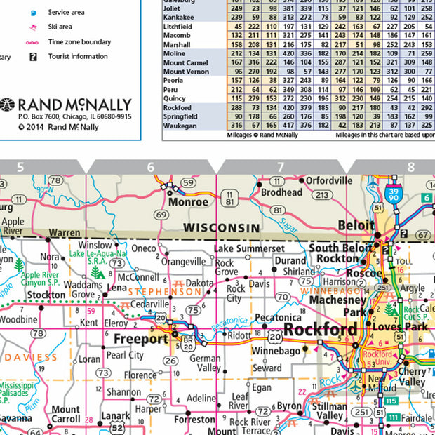
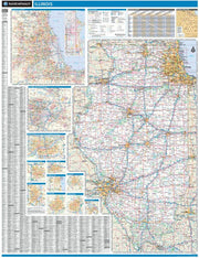
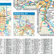
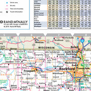
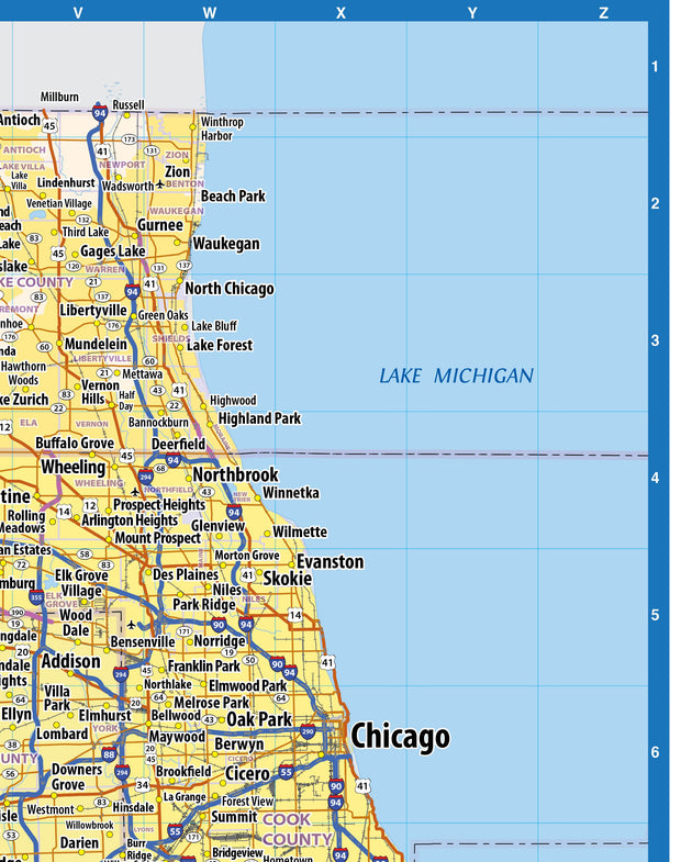
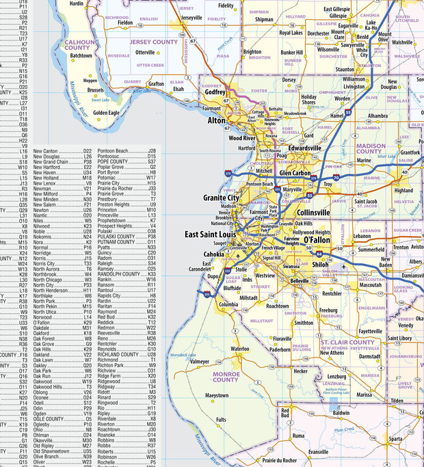
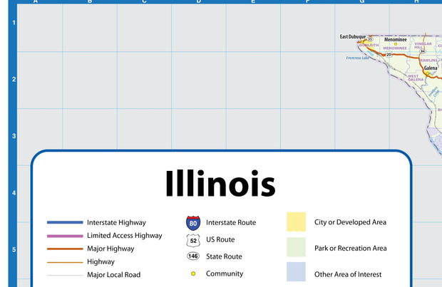
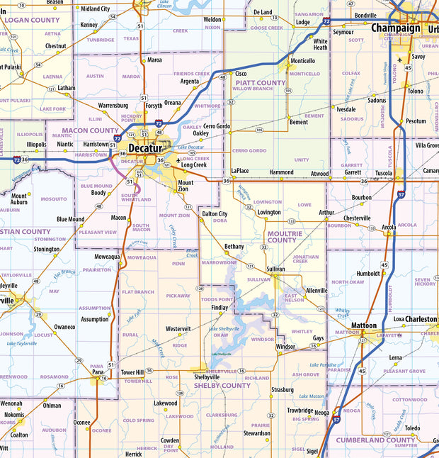
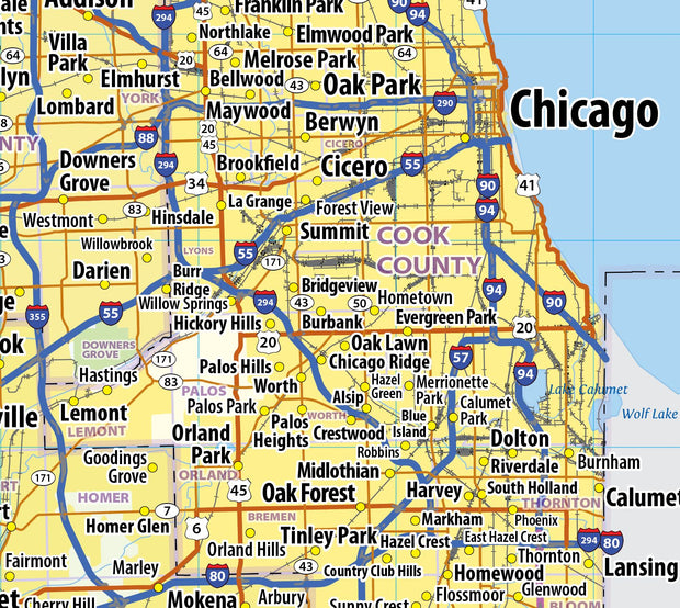
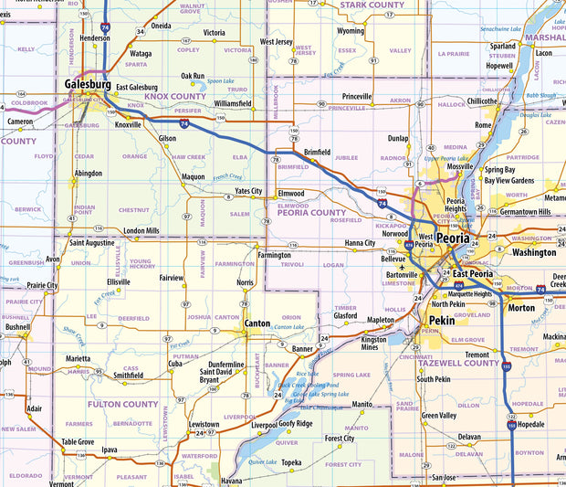
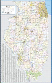
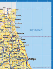
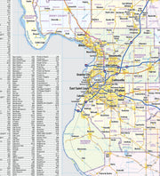
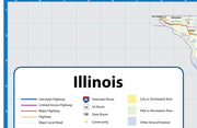
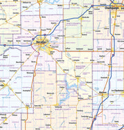
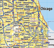
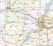
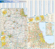
This colorful, easy-to-read state map of Illinois identifies all major thoroughfares, secondary roads, freeway interchanges, rest areas, distance markers, landmarks, recreational areas, and more. Shaded relief on the state map provides a three-dimensional sense of Illinois' topography. Detailed city inset maps of Bloomington/Normal, Chicago, Champaign/Urbana, Decatur, Peoria, the Quad Cities, Rockford, and Springfield are based on the latest street information from our cartographic experts. An up-to-date inset of downtown Chicago provides must-see information on the central business and tourist district. County and city indices make it simple to locate even the smallest town.
This map is rolled and shipped in a sturdy cardboard tube.