

You may also like
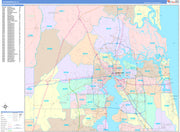
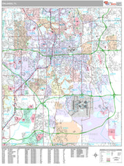
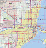
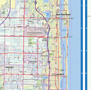
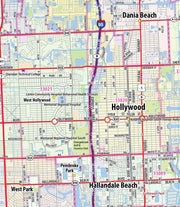
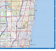
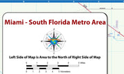
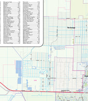
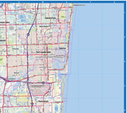
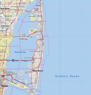
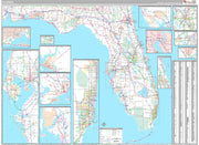
FLWM107
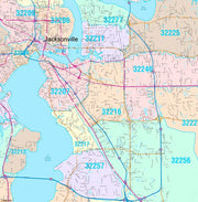
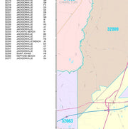
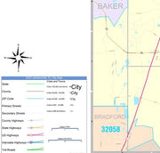
This map of Duval County, Florida shows regional level information. Base map features include highways and major roads with labelling; neighborhood names; railways; high level land use such as parks and recreation areas, industrial areas and hospital campuses; and a selection of points of interest including transportation hubs like airports and train stations, tourist information, police stations and shopping centers. ZIP code boundaries are shown as a secondary map feature.
This map is rolled and shipped in a sturdy cardboard tube.
FLWM115CC-1
Save money on our full line of wall maps from one of the industry leaders in wall maps. These always up to date, eye catching wall maps come in a variety of sizes and finishing options sure to meet your specific mapping needs.
Features include:
Note: Major streets & highways available in all sizes. All streets & highways only available in larger sizes and will show unavailable in smaller sizes.
This map is rolled and shipped in a sturdy cardboard tube.
FLWM116-1
Save money on our full line of wall maps from one of the industry leaders in wall maps. These always up to date, eye catching wall maps come in a variety of sizes and finishing options sure to meet your specific mapping needs.
Features include:
Note: Major streets & highways available in all sizes. All streets & highways only available in larger sizes and will show unavailable in smaller sizes.
This map is rolled and shipped in a sturdy cardboard tube.
FLWM121
This map is rolled and shipped in a sturdy cardboard tube.
FLWM006-1
Save money on our full line of wall maps from one of the industry leaders in wall maps. These always up to date, eye catching wall maps come in a variety of sizes and finishing options sure to meet your specific mapping needs.
Features include:
This map is rolled and shipped in a sturdy cardboard tube.
FLWM101
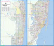
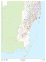
This map of Miami-Dade County, Florida shows regional level information. Base map features include highways and major roads with labelling; railways; high level land use such as parks and recreation areas; and a selection of points of interest including transportation hubs like airports and train stations, tourist information and police stations. ZIP code boundaries are shown as a secondary map feature.
This map is rolled and shipped in a sturdy cardboard tube.

