Civil War
Civil War
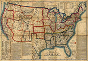
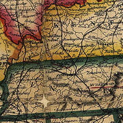
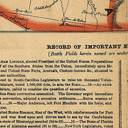
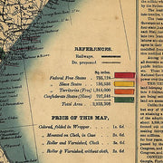
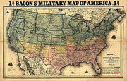
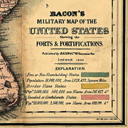
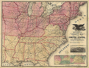
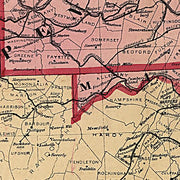
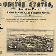
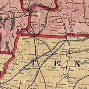
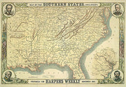
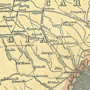
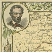
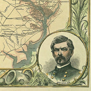
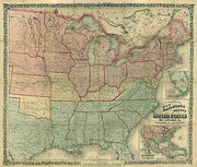
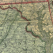
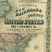
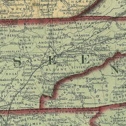
USCW004
Bacon's steel plate map of America, political, historical & military, 1863
This beautiful antique map reproduction is printed on heavy acid-free stock with fade proof inks and is excellent for framing.
33"W x 23"H
USCW003
Bacon's military map of the United States shewing the forts & fortifications, 1862
This beautiful antique map reproduction is printed on heavy acid-free stock with fade proof inks and is excellent for framing.
25"W x 16"H
USCW001
Magnus's county map of the United States during the War of the Rebellion, 1862
This beautiful antique map reproduction is printed on heavy acid-free stock with fade proof inks and is excellent for framing.
33"W x 25"H
USCW002
Map of the southern states, including rail roads, county towns, state capitals, county roads..., 1861
This beautiful antique map reproduction is printed on heavy acid-free stock with fade proof inks and is excellent for framing.
26"W x 18"H
USCW005
Colton's new railroad & county map of the United States, the Canadas &c., 1862
This beautiful antique map reproduction is printed on heavy acid-free stock with fade proof inks and is excellent for framing.
29"W x 25"H
All Maps Have a Free Shipping Option Through Year End!

