
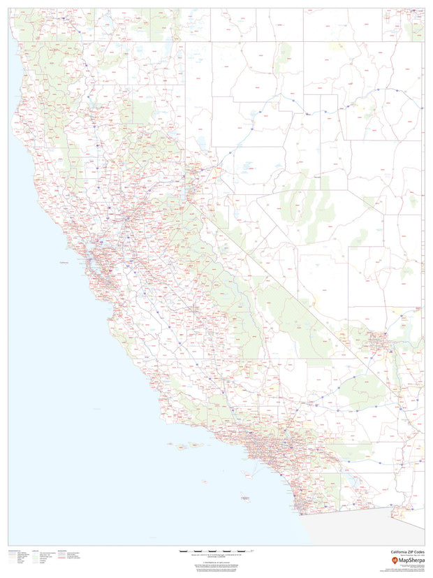
CAWM005
This map has been created and designed for business or reference use. Clear and clean colors & fonts matched with cartographic research makes this California Zip Code Map with Counties easily readable and useful. The map shows the 58 counties of California and the borders of the over 1,700 zip codes across the Golden State.
This map is rolled and shipped in a sturdy cardboard tube.
CAWM001
This map is rolled and shipped in a sturdy cardboard tube.

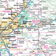
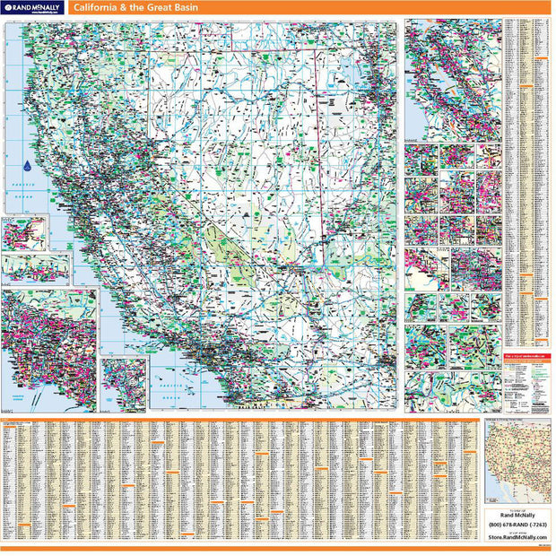
CAWM002
This map is rolled and shipped in a sturdy cardboard tube.
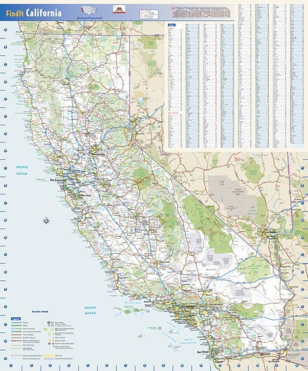
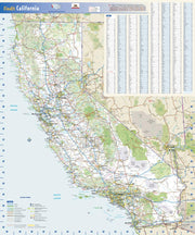
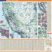
CAWM002
This colorful, easy-to-read state map of California identifies all major thoroughfares, secondary roads, freeway interchanges, distance markers, landmarks, recreational areas, and more. Shaded relief on the state map provides a three-dimensional sense of California’s topography. County and city indices make it simple to locate even the smallest town.
This map is rolled and shipped in a sturdy cardboard tube.

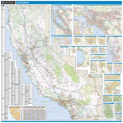
CAWM003
This map of California shows ZIP codes overlaid on a road map. Base map features include county boundaries, major road network features, and state and national parks and conservation areas.
This map is rolled and shipped in a sturdy cardboard tube.

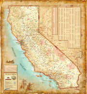
CAWM006
California Antique Wall Map
Introducing the California Antique Wall Map/Mural. Beautifully illustrated with subtle antique parchment and earth tone hues, the detail is highly legible with borders clearly defined. In this unique Antique style, this map can be used for general reference, to track current events, or as a piece of art. Decorators will find the color scheme works beautifully with dark wood furniture and trim. With flexible sizes this mural is a designer's delight.
This California Antique Wall Map features:
This map is rolled and shipped in a sturdy cardboard tube.