

You may also like
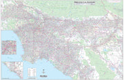
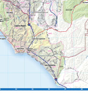
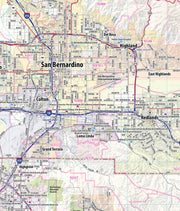
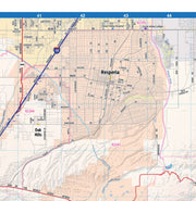
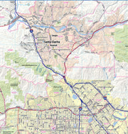
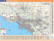
CAWM109
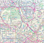
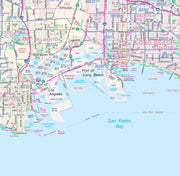
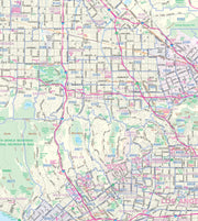
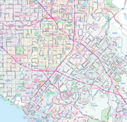
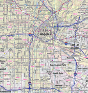
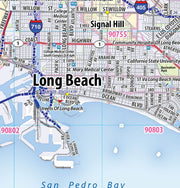
This landscape-oriented map of central Los Angeles, California shows detailed street level information including extensive street labeling. Ideal for planning of deliveries, home services, sales territories, real estate and much more. Base map features include all roads with major roads and highways labelled; neighborhood names; railways; high level land use such as parks and recreation areas, industrial areas and hospital campuses; and a variety of points of interest including schools, libraries, stadiums, museums, border crossings and more.
This map is rolled and shipped in a sturdy cardboard tube.
CAWM110
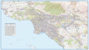
This up to date map of the Los Angeles regional area features up-to-date major roads, cities, highways, zip code boundaries, lakes, hospitals, high schools and more.
This map is rolled and shipped in a sturdy cardboard tube.
CAWM114
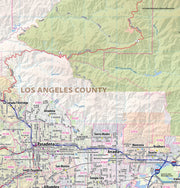
This exquisite wall map of Los Angeles uses shaded relief to portray the land and combines shading with elevation tints that portray landforms much more clearly than contour lines. These techniques and elevation colors make mountains, highlands and valleys immediately obvious.
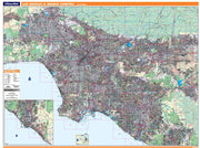
This large wall map shows the entire Los Angeles Metropolitan Area in an easy-to-read, clear and concise format. All communities in the region are shown, as well as major roads and highways and important points of interest. A perfect tool for planning, sales, marketing, or just seeing the “big picture”, this map comes rolled in a sturdy tube.
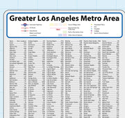
This map also includes a city index making this map both highly functional and decorative. Perfect for a home office, conference room or dispatch office, this map fits all your Los Angeles mapping needs.
This map is rolled and shipped in a sturdy cardboard tube.
CAWM100
Note: This map is not available for gift wrapping. Please allow 7-10 days for shipping.
Coverage area extends:
Dimensions: 80" x 60"
This map is rolled and shipped in a sturdy cardboard tube.
CAWM101
This map is rolled and shipped in a sturdy cardboard tube.
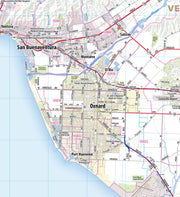
Coverage area extends approximately 106 miles north-to-south and 155 miles east-to-west and is roughly bounded by the Los Padres National Forest north of Ventura, CA; east to Barstow, CA; south to Temecula, CA; and west to the Pacific Coast.

