California City Wall Maps


CAWM140CC-1
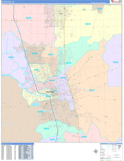
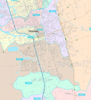
Save money on our full line of wall maps from one of the industry leaders in wall maps. These always up to date, eye catching wall maps come in a variety of sizes and finishing options sure to meet your specific mapping needs.
Features include:
Note: Major streets & highways available in all sizes. All streets & highways only available in larger sizes and will show unavailable in smaller sizes.
This map is rolled and shipped in a sturdy cardboard tube.
CAWM144
Our Los Angeles Metro Area ZIP Code Map highlights zip code areas within a 100 mile wide by 75 mile high region of southern California. It shows from Malibu in the west to Beaumont in the east, and from Santa Clara in the north to San Clemente in the south. The perfect tool for visualizing the big picture for the entire LA Metro area, each zip code is colorized and labeled for quick identification. The map also shows counties, communities, and major roads. An index of zip codes is included for easy reference. The map is printed on heavyweight paper and the laminated version allows the use of write-on/wipe-off dry-erase markers.
This map comes in a variety of sizes and finishing option. It is shipped rolled in a sturdy cardboard tube.
CAWM146
Wall map of the Greater Sacramento, CA area showing from Yuba City in the north to Galt in the south, and from Woodland/Davis in the west to Placerville and Sutter Creek in the east. This area includes all or part of the following counties: Sacramento, Placer, Yolo, Amador, El Dorado, Sutter, Yuba, and Nevada. Features shown include cities, towns, major roads and highways, and major points of interest. Due to scale local road names are not shown. An index of community names is included.
This map comes in a variety of sizes and finishing options. It is shipped rolled in a sturdy cardboard tube.

