

You may also like
CAWM113-1
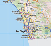
This map of San Diego County, California shows regional level information. Base map features include highways and major roads with labelling; railways; high level land use such as parks and recreation areas; and a selection of points of interest including transportation hubs like airports and train stations, tourist information and police stations.
This map is rolled and shipped in a sturdy cardboard tube.
CAWM002
This map is rolled and shipped in a sturdy cardboard tube.
CAWM001
This map is rolled and shipped in a sturdy cardboard tube.
CAWM011
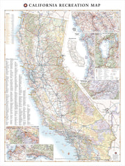
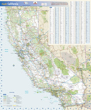
Few places in the world can claim such diverse landscapes and seascapes as California. This map illustrates The Golden State’s network of highways that grant road travelers access to iconic natural features like Death Valley, Lake Tahoe, Yosemite Valley, and the Coastal Redwoods to name a few.
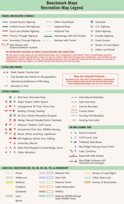
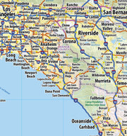
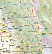
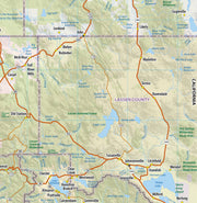
If outdoor adventure and recreation is your thing, this is the map for you. This map is loaded with points of interest from camping sites, hiking trails, fishing spots, and bird watching locations ( see legend shown on 2nd picture) this map depicts all the best recreation locations. Not only functional this exquisite map uses shaded relief to portray the land a technique which combines shading with elevation tints that portray landforms much more clearly than contour lines. These techniques and elevation colors make mountains, highlands and valleys immediately obvious.
Beautiful as well as functional this map will look great in a home, office, cabin, RV or wherever you choose to hang it.
This map is rolled and shipped in a sturdy cardboard tube.
CAWM009
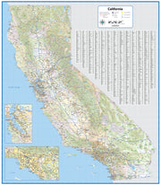
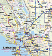
This exquisite wall map of California uses shaded relief to portray the land and combines shading with elevation tints that portray landforms much more clearly than contour lines. These techniques and elevation colors make mountains, highlands and valleys immediately obvious.
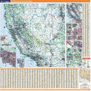
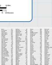
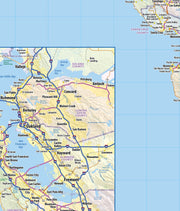
Laminated wall map of California, showing counties, towns, cities, villages, major roads and highways. Includes larger scale inset maps of the San Francisco - San Jose and Los Angeles areas. A community index is included. Laminated map comes rolled in a sturdy tube. Perfect for a home office, conference room or dispatch office, this map fits all your California mapping needs.
This map is rolled and shipped in a sturdy cardboard tube.
CAWM002
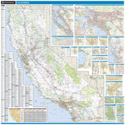
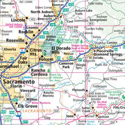
This colorful, easy-to-read state map of California identifies all major thoroughfares, secondary roads, freeway interchanges, distance markers, landmarks, recreational areas, and more. Shaded relief on the state map provides a three-dimensional sense of California’s topography. County and city indices make it simple to locate even the smallest town.
This map is rolled and shipped in a sturdy cardboard tube.

